East Greenland Adventures
- TrawlerTraveller
- Sep 22, 2019
- 10 min read

Updated: Oct 19, 2019
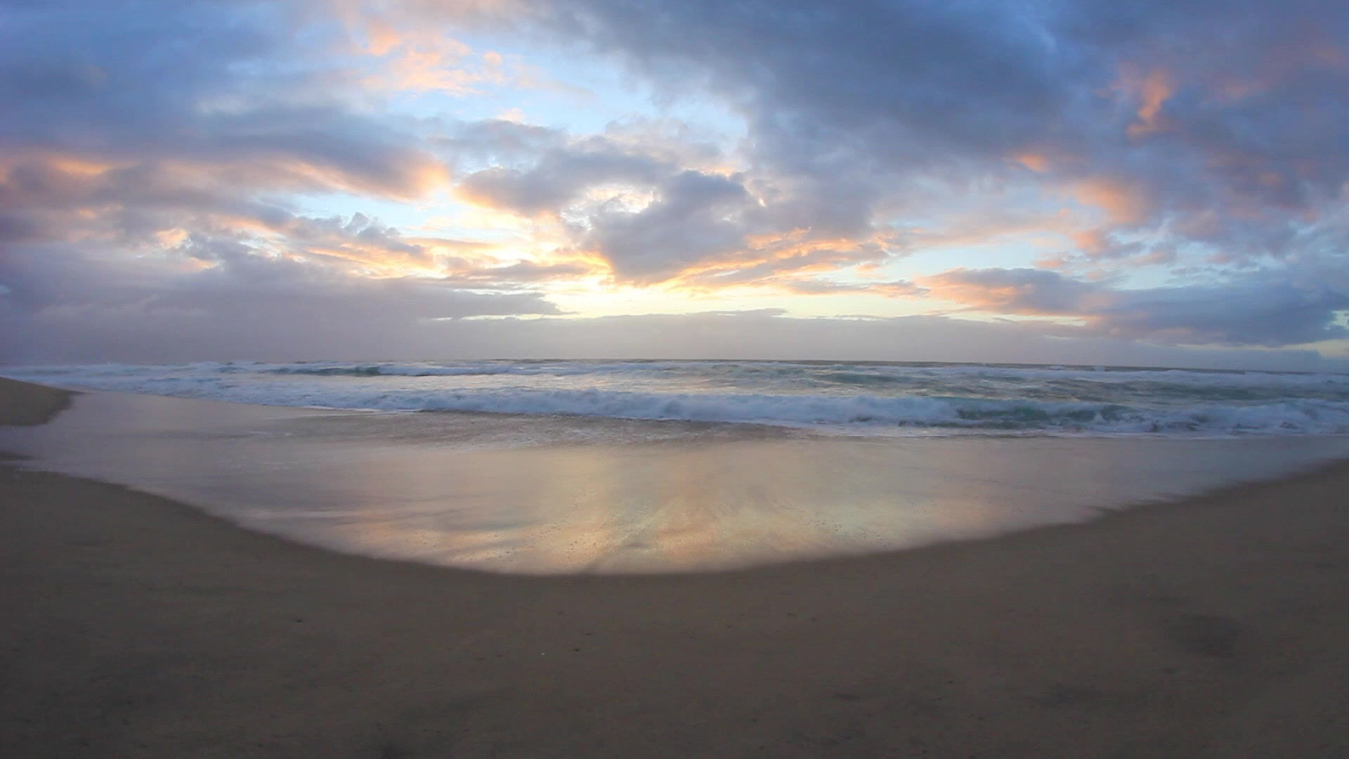
At last ..... time to write about our Greenland Adventures!! Aside from not having come across a single electron of internet access for 4 weeks, there have just not been enough hours in the day to fit in any writing amongst the never ending adventure and activity that have filled every moment of every day. This morning we arrived in the tiny fishing port of Tamaline on the south coast of Newfoundland and will stay holed up here for the next 36 hrs and let a bit of unpleasant weather blow through before heading across the channel to Nova Scotia to find a suitable hideaway to shelter from Hurricane Dorian which is forecast to pass through here in about 6 days time. The internet access is good and with time on my hands it is a perfect time to reflect and share with you what has been one of the most exciting and enthralling travels I have experienced.

This story starts in Reykjavik, Iceland where friends Mark, Roy and Phil joined me, and my wife Karen, left the boat to return home to Australia. Karen had decided long ago to skip the Greenland section of our travels mainly because of the two rather long crossings from - Iceland to Greenland (about 400nm) and from Greenland to Newfoundland (about 700nm). As it turned out the first passage was a walk in the park with ideal flat calm conditions and the second only marginally less perfect with just 1 day of the 4 day voyage being somewhat uncomfortable. In any case, I think Karen was keen to get back to our new granddaughter in preference to spending six weeks on board with me and 3 of my mates!
I put a lot of thought into my choice of companions for this voyage and am pleased to say I think I picked well (even if it were not true, what else could I say!). None of the three had met each other prior to accepting the offer to join me on this adventure but have bonded wonderfully and will no doubt maintain a long term friendship. We achieved everything we set out to do (except an aerial photo from our drone of the four of us nude on an iceberg - more on that later); we have laughed long, heartily and often; eaten lavishly as a result of a kind of "My Kitchen Rules" competitive cooking environment which evolved early in the trip, and other than the occasional (and justly deserved!) harsh admonishment from me for shipboard duties not carried exactly in accordance with instructions, not a cross word has been spoken in the 6 weeks we spent together.

The boys arrived in Reykjavik 3 days prior to departure and were immediately set to work on important last minute tasks - the most critical being calculating the amount of alcohol supplies we would need to cover 6 weeks in the wilderness. Staff at the government operated liquor store were somewhat bemused by the four of us loading trolleys full of wine, beer and spirits and clattering off down the cobbled footpaths in stately procession with our precious haul. Aside from alcohol, we needed to be fully self sufficient with food supplies for at least the next 4 weeks, which was the earliest we could expect to be able to re-stock. The freezer was already fully stocked with meat supplies I had purchased in the Shetland Islands two months earlier, so only fresh fruit and vegetables and dry goods were needed. I was able to find a green grocery wholesaler who was prepared to take our order and deliver everything to the boat on the morning of our departure. As most fresh produce in Iceland is imported from elsewhere in Europe we were most fortunate that their weekly delivery arrived in their warehouse the day before our departure so our supplies were as fresh as possible. The remainder of our requirements were readily obtained from 3 large and well stocked supermarkets located only a few hundred meters from our berth position. So at mid-day on August 1, we saw Karen into a taxi to the airport and cast off our lines to start our much anticipated adventure!

The weather forecast for our initial 48hr passage could not have been better. Our destination was the small village of Kulusuk located about 400nm north of the southern tip of Greenland and nearby to Tasiilaq (pop 2,000) the only substantial settlement on the entire east coast. The voyage was mostly calm with flat seas but a lot of fog, which was very thick at times. The fog was of concern because we had no accurate idea of when we would first encounter ice and also no experience with how well our radar would identify icebergs, especially the smaller ones (growlers and bergy bits) which, even if only a cubic meter in size and weighing around 1,000kg, could easily inflict substantial damage to our hull if struck at speed.

Fortunately the first ice we encountered was in daylight (which is most of the time at this time of year) and in reasonable visibility. This allowed us to gain some confidence in how well ice shows up on radar (extremely well as it turns out!) and was cause for great excitement amongst us. As the day wore on and we closed into the coast the intensity of ice progressively increased and a persistent thick fog set in which reduced visibility to less than 50m at times. Our confidence with the radar steadily increased and we started to venture closer to some of the larger bergs.
We were passing by a particularly large berg at a distance of approximately 300m when the fog suddenly cleared a little and we were able to make out the profile of what looked like a small mountain. A moment later, with my focus back on the radar screen looking for any ice ahead, Mark noticed the berg literally split in two with a large section sliding down into the sea and called out "Wow, look at that!". I immediately looked out to the side and could still just make out the shape of the berg in the gloom but alarmingly could also clearly see a large breaking wave heading straight towards us. My first reaction was that what we thought was an iceberg was in fact an uncharted island and that the wave I could see was breaking on a nearby reef. It took moments to come to the realisation that this could not possibly be the case as the breaking wave was heading away from the 'island' rather than towards it and that this was instead a small tsunami caused by the huge piece of ice that had just broken off the main berg. I spun the boat around to head away from the oncoming wave but it dissipated to nothing well before getting to us. We all breathed a sigh of relief and let our heartbeats settle whilst we worked out and reconstructed what we had just witnessed. I had read about icebergs 'calving' without warning and the associated dangers of approaching them too closely - making this an exciting and graphic introduction to the totally unfamiliar world we had entered! (Whilst we saw many more icebergs calve, that initial calving was the largest and most dramatic of the trip.)


The village of Kulusuk revealed itself when the fog cleared the morning after we arrived.
A few hours later we worked our way around some islands, past a headland and through a narrow channel to arrive at our anchorage in a small bay in front of Kulusuk - relying totally on radar as the visibility was less than 100m throughout and the Greenland charts proved hopelessly inaccurate. I had noticed well before leaving that all available Greenland charts (both paper and electronic versions) were extraordinarily scant on details, with most areas totally without any depth soundings. With the use of radar and GPS positioning it is quite simple to compare "reality" with what is shown on the chart and it became immediately obvious that land forms are shown up to 1nm out of position and some features, notably many islands and above water rocks, are not shown at all. God only knows what uncharted invisible dangers exist just below the surface! We would need to navigate with the utmost of caution and rely heavily on the tried and tested 'Eyeball Mark 1' method of navigation.

We called in at Kulusuk to take on board a local guide for our first 7 days. Our thought was that it would be great to have someone on board familiar with the local environment to help us get the most out of our time here. I had arranged our guide through Pirhuk Mountain Guides, an organisation set up by a an English couple specialising in mountain climbing and skiing tours in the Angmassalik Region. We were somewhat surprised to discover that our guide was not an indigenous polar bear hunter dressed in seal skins, but a mature English lady who has sailed extensively in this area and knows her way around extremely well. She is clearly much taken by Greenland and has recently purchased a house in Kulusuk (to live all year round) with no running water, a bucket for a toilet and curiously, prefers to sleep outside - which she did for the 7 days she was on board!
Theresa (who we promptly christened 'Bill', dreading that our wives might not be too pleased to discover that our guide was a woman!) was a delight to have on board and after a day or two of acclimatising to our team, fitted in perfectly. We learned much from Theresa about icebergs and glaciers, polar bear safety and gun handling (we carried a 30-06 calibre bolt action rifle on board for protection from polar bears and never went ashore without it) and even a thing or two about baking bread and pastry. Phil benefited more from Theresa's presence than the rest of us as she rescued him from his first two rostered cooking duties (having quickly recognised that he could do with some assistance) by settling him on the couch with a glass of wine to promptly fall asleep while she prepared the meal on his behalf!

We enjoyed 4 weeks of near perfect weather in Greenland with clear skies, little or no wind and only occasional fog after our initial arrival experience. What fog we did experience invariably occurred, most inconveniently, when approaching or leaving tight anchorages or travelling amongst dense fields of icebergs, bergy bits and growlers - never in clear water in the open ocean!
We were extremely fortunate also that it was a relatively mild summer because there are many years where the east coast of Greenland is inaccessible throughout the year because of sea-ice. (Sea-ice is frozen seawater as distinct from icebergs which have mostly calved from glaciers and are thus made up of fresh water. We experienced no sea-ice but were accompanied by icebergs and their smaller cousins pretty much everywhere we went.) Conditions on the east coast are very much influenced by a cold current that flows south bringing with it much ice and generally a lot of fog. The west coast on the other hand is affected by a warm current flowing north and is relatively ice free for much of the year. As a result almost the entire population of Greenland is found on the west coast and less than 3,000 people live on the east coast - all concentrated around the town of Tasiilaq, near Kulusuk where we arrived. There is not one settlement between Tasiilaq and the southern tip of Greenland some 400nm south. The remoteness and inaccessibility makes this such an exciting destination.

The good weather conditions allowed us to explore extensively (both on land and by sea) and enjoy our time here to the fullest. I find it impossible to adequately describe the scale, grandeur and remoteness of East Greenland - it just leaves me breathless. Hopefully the photo's in this blog and the accompanying photo gallery (click here or on any image to access the full set of photos) will do the scenery justice! (The photo set is a compilation of pictures taken by all of us - agreed to be published without individual credits).

Hiking became our next main activity after "iceberg and glacier sightseeing". Whilst there are no marked trails in this remote area the only things limiting hiking opportunities are terrain in the form of cliffs and glaciers requiring technical climbing skills and equipment (neither of which any of us possess). The only vegetation able to withstand the harsh environment is mosses and hardy ground covers which made everywhere that wasn't either too steep or covered in ice climbable for us. We enjoyed many long hikes (always armed and on the lookout for polar bears) to summits using routes we had planned and identified from the boat. The variety of terrain and superb vistas made these highly rewarding outings.


Hiking became a big part of our adventures
Getting back to the nude iceberg photoshoot .... shortly after arriving in Greenland and after a few too many before, during and after dinner drinks we came up with the brilliant idea of the four of us getting onto a suitable iceberg, stripping down naked and using our drone to take some truly memorable photo's. Like most alcohol infused brilliant ideas this one had it's flaws - the primary flaw (which we had not yet become familiar with) being that icebergs regularly roll over and capsize, generally unexpectedly without warning. Whilst we witnessed a lot of 'calvings' (but nothing like the first one) the phenomenon we witnessed most often was icebergs of all sizes and shapes rolling over. Rolling occurs because the centre of balance of the berg changes, either as a result of a piece breaking off, but more often due to melting of either the underwater or above water portion of the berg. We witnessed this absolutely close up, in the situation shown the photo below, where the berg immediately in front of the boat, which looked benign and stable (and a possible nude photo shoot candidate!), suddenly rolled towards us, almost pushing us into the berg on our starboard side ....and thereby ended our creative naked ambitions!

Sadly, after 4 wonderful weeks we needed to leave Greenland and make our way south to Belfast, Maine where the boat will spend the winter. I started writing this post just after we arrived in Newfoundland but then got sidetracked, a couple more weeks have gone past since and we are now at our final destination. Unfortunately, our trip through Newfoundland and Nova Scotia was heavily affected by Hurricane Dorian (which ended up passing almost directly overhead as a Category 2 storm whilst we were safely holed up in the Bras D'or Lakes) and we were not able to explore this part of Canada as much as we had hoped. We did however enjoy a big night out (our first night off the boat in 5 weeks) in St. John's (the capital of Newfoundland) where we learned to speak like a local and pronounce "Newfoundland" as a single syllable without moving one's lips and a memorable few days in the delightful town of Baddeck (home of Alexander Graham Bell) waiting for the storm to pass. I am very much looking forward to visiting this area next summer with a lot more time on our hands.

That's it for now ..... will leave you whilst I contemplate whether the best place on the planet is East Greenland or the Kimberly Coast in Australia - both dramatic and unique landscapes with one shared overarching feature - NO PEOPLE!!!


Hugo. Another sensational blog. What a wonderful adventur.
Looking forward to catching up with you boys in your return.